
Water, Roads, and Snow: The Rural Infrastructure and Hazard Screen
A structurally sound house can still be unusable: undocumented spring-water rights, undersized septic tanks, winter road closures, flood-prone access bridges. How to screen utilities and natural hazards before buying.
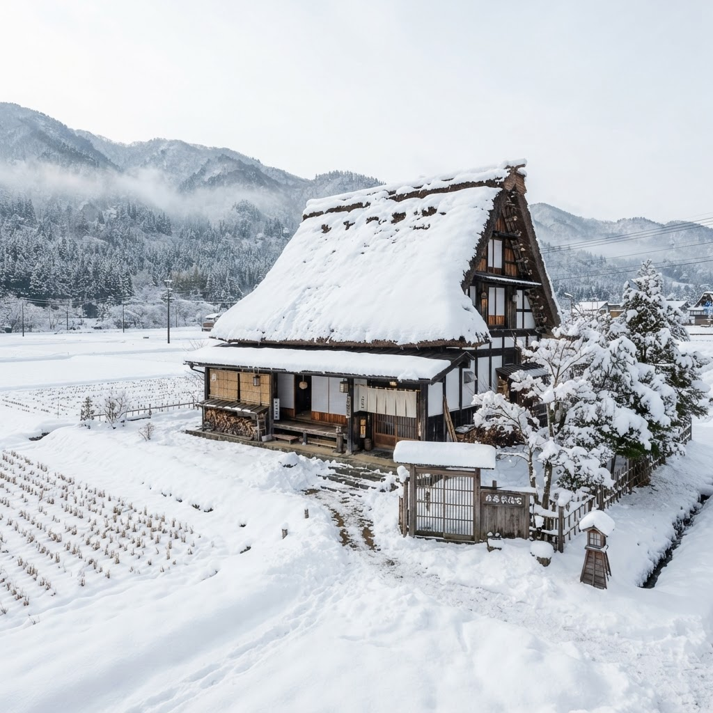
A rural property can be physically sound and still be unusable because it lacks legal road access, reliable water, adequate wastewater capacity, winter access, or practical proximity to services. These are the questions city buyers never think to ask — and the ones that determine whether a mountain homestead actually works.
Utilities: the six systems to verify
| System | Red flag | Mitigation |
|---|---|---|
| Water | Verbal spring-water right; pipe crossing a neighbour's land; no recent potability test | Written rights, storage, filtration, independent lab testing and seasonal yield test |
| Wastewater | Old single-treatment septic tank; missing inspection records; undersized for guests | Specialist inspection; owners must arrange maintenance, cleaning and annual statutory inspection |
| Power | Cloth or deteriorated wiring, undersized service, improvised circuits | Rewire before occupancy; design peak loads for heat pumps or a commercial kitchen |
| Heating & fuel | Buried or leaking kerosene tank; unlined chimney; no winter fuel delivery | Replace unsafe systems and diversify heat sources |
| Internet & mobile | Coverage assumed from a regional map; mountain shadow; no upload bandwidth | Address-level carrier checks and on-site speed tests; budget redundancy for guests |
| Road access | Customary access only; narrow bridge; winter closure; no ambulance turnaround | Registered access rights, cost-sharing agreement and a winter-service plan |
Hazard screening with official tools
Use both national and municipal sources. MLIT's Hazard Map Portal overlays flood, internal flooding, storm surge, tsunami and sediment-disaster data; GSI Maps adds topography, terrain classification and historic aerial imagery; J-SHIS provides national seismic-hazard mapping. A visually attractive valley can concentrate floodwater, cold air and road closures; a mountain-view hillside brings slope, snow and emergency-access risk.
Distance-to-services scorecard
| Service | Suggested screen | Hospitality consideration |
|---|---|---|
| Grocery & pharmacy | 20-30 min | Verify holiday hours and winter access |
| Hospital / emergency dept. | 45-60 min | Confirm ambulance response; winter route closures |
| Local clinic | 20-30 min | Important for ageing in place |
| Train or intercity bus | 20-40 min | Decide whether guests need a pickup service |
| Hardware / building supply | 30-60 min | Delivery surcharges and truck access during renovation |
| Airport or rail hub | By guest market | Measure door-to-door time, not straight-line distance |
These are planning preferences, not regulatory standards. Record dry-weather, rush-hour and winter travel times separately — they can differ by a factor of two in snow country.
Infrastructure & hazard screening checklist
Sources & references
Keep reading
The Farmland Trap: Why That Cheap Akiya with Rice Paddies Isn't Automatically Yours
Rice paddies, fields and forest attached to a rural Japanese house are governed by the Farmland Act and forestry rules. Learn how Article 3 approval, blue land, irrigation districts and forest notifications really work.
Zoning, Road Access, and the House You Can't Rebuild
A standing house is not proof you may rebuild it. Urbanization-control areas, the 2-metre road-frontage rule, existing-nonconforming buildings and unregistered extensions — the planning checks that decide a rural purchase.
The Due-Diligence Playbook: Documents, Contract Conditions, and Closing Controls
Japanese purchases don't automatically include inspection conditions. The document request list, the contract protections to negotiate (停止条件, 契約不適合責任), and the closing checks that protect your deposit.